BELOGORSK. MOLBAY


MOLBAY VALLEY. (Bee village)
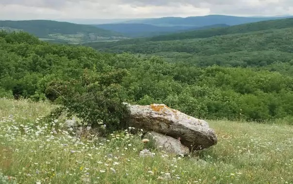
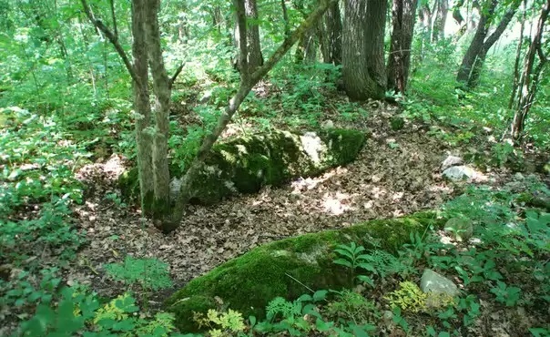
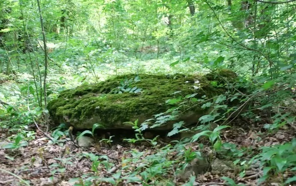
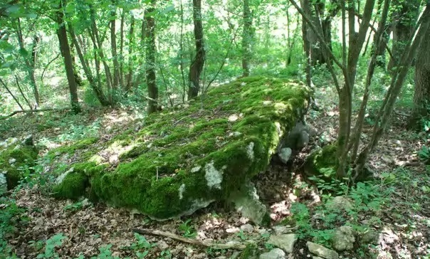
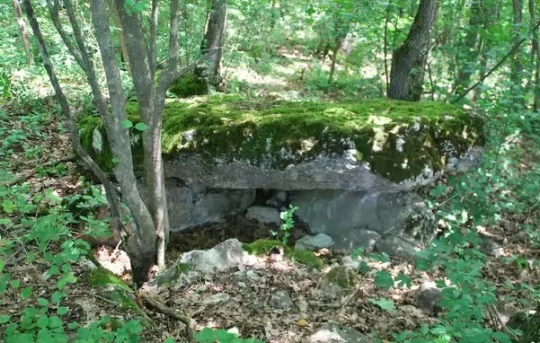
The path to the Molbai Valley begins beyond the southern outskirts of the village of Golovanovka, Belogorsky District, at the bridge over the Molbai-Uzen River. At this river we have to spend the first hour of the route. The country road goes to the south-west and, bypassing the plowed fields of the Kharatash tract, on the site of the former village of Tama, it deepens into the forest. Move on. The forest splits into groves, leaves on the sides. Before us is a Shishkin landscape: “in the middle of a flat valley” - a pine alley, a pond nearby, and a fountain near a pond. This is all that remains of the village of Svobodny (formerly Molbai). Life goes away from remote places, the small village of Kamyshlyk, a kilometer to the south-east, has long disappeared, and only by some miracle Kurtluk has survived, now Pchelino, and several houses are looking there with empty windows. The wooded beam of Bal-Djilga leads to it to the west, along which the river Tserik-Uzen sometimes flows. From the south, from the slopes of Karabi a fan of ravines gathers the right source of the Molbay river - Bin-Julgalara - Thousand Roads. In the northeast, the broad wooded peak of Medium, or Medim-Bashi, with the Medym-Kay rock - Skala-Bochka, on the left almost in the west - the slender cone of Mount Uzun-Kaya, it is also Siir-Kaya. The path to it is clear, but first we visit a grove by the road near the pond. More often, powerful plates dug deep into the ground, forming a rectangle: two short ones are enclosed between two long ones. In some places, shifted or dropped cover plates are visible. These are dolmens.
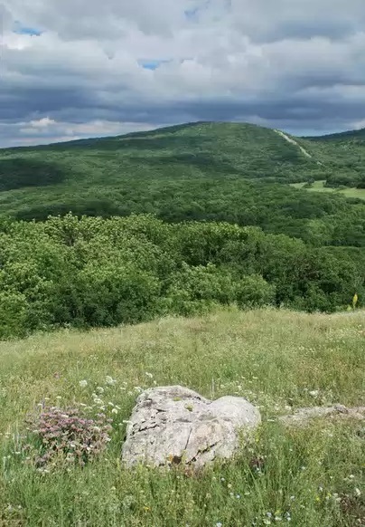
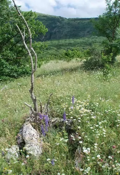
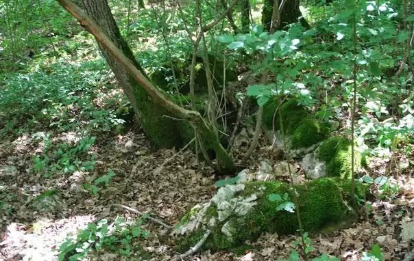
Climbing the Long Rock - Uzun-Kaya - is pretty cool. It is not surprising that at the top there are ruins of the wall surrounding it - here is a good refuge and a good observation post. Protected by high mountains, both from the steppes and from the southern coast, the Molbai Valley is an ideal place to settle in the harsh times of the end of the 1st millennium BC. e. Its southwestern and partially southern slopes are occupied by multi-stage, now covered with forest, agricultural terraces. In the bowl of the valley and on the surrounding ranges there are about two dozen dolmens, like nowhere else in the Crimea. Through a shallow wooded saddle, we rise northwest to the dominant peak Chetleuk-Syrt, on the maps - Chombay. The tract Chumbai itself, to the east of it, in the relatively recent past is a picturesque quiet valley. Powerful oaks turned out to be victims of the transformers; we stumble upon their bodies on the way to a small hill, Loop-kai-Obasyk in the eastern part of the basin. Here there is only one dolmen, but of classical architecture: the lid has been preserved in place, around the remains of cromlech - low stone slabs dug around the circumference into the ground. From here you can return to Golovanovka on the road to the east, above the Dzhanta-Koba ravine. But if you are not tired of impressions yet, it’s good to go up to the northern side of Chumbai - the Sary-Kaya-Tobesy massif, and from there to the east - the panoramic peak of Rpek-Bashi. On it is another chain of dolmens.
It is worth noting that the second complex is located separately and chooses who should interact with him and find him. Therefore, before deciding on such a difficult physical route and tune in to spiritual interaction. But the first keomplex is quite favorable for collective interaction and is open to communication, moreover, in different spheres of human life. Perhaps this is the most secluded complex that allows you to immerse yourself in calm meditation among the distant and wild nature.
Coordinates: 44°56'31"N 34°35'26"E
44°55'14"N 34°33'32"E